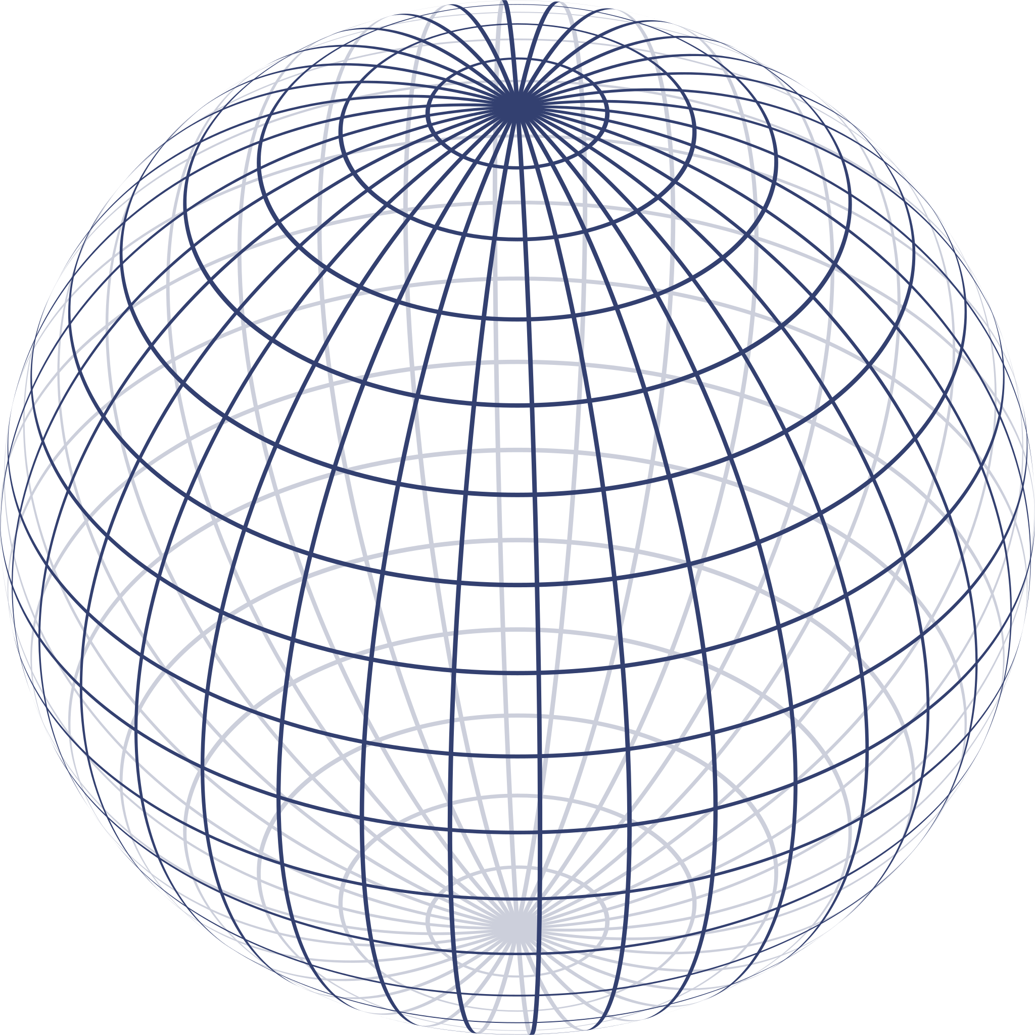
I recently asked this question, which is a preface to this one. In that one I explain roughly what I'm attempting to achieve, but I realized that once I found that cutoff angle I still didn't have a good way of drawing the lines of latitude and longitude in terms of partial ellipses like I want to.
As mentioned in the comments of the accepted answer, I could still draw a lot of individual points and lines between them, but what I'd prefer would be to draw partial ellipses parametrized by their center, width, height, and where to start and stop drawing them in terms of radians. Translating from specific points of projection to such ellipses is the difficulty I'm facing; finding the cutoff for each line of latitude and longitude in terms of the other was meant to help find where to start and stop drawing the ellipses, but I struggle to actually do that, and I also struggle to find the other parameters (centers, heights, widths).
Here's an image showing what I'm after, the only differences being that I'm only ever going to tilt the central latitude, not the longitude, I'm not going to show the hidden parts of the ellipses (but as you can see from that image, you'd still have to know where along the ellipse you have to change the stroke), I'm going to parametrize how many divisions of longitude and latitude (typically I will have lines that are 1 degree apart pre-projection, as shown in the image I linked to in the original question), and I'm probably going to highlight the equatorial latitude with a different color.